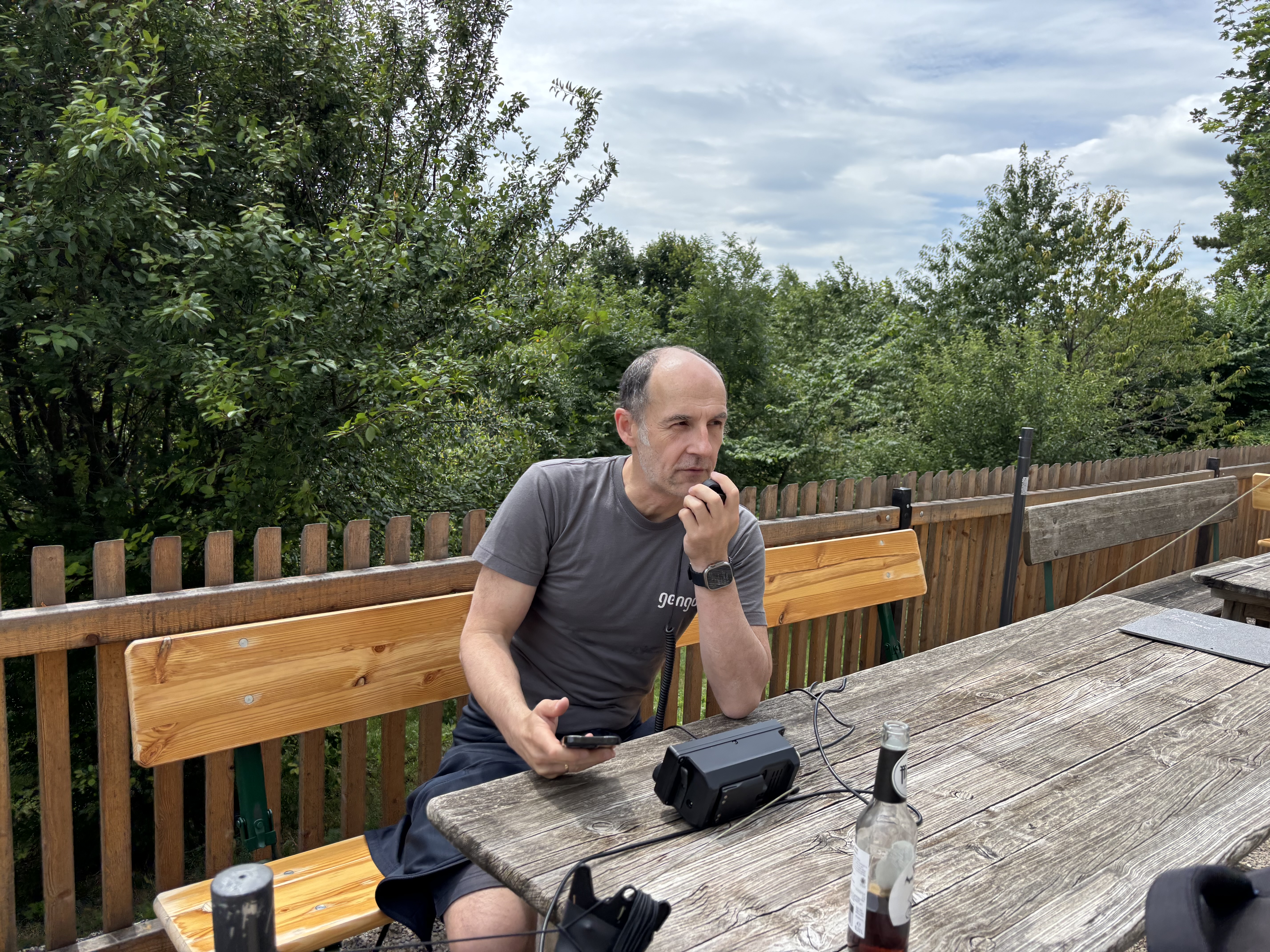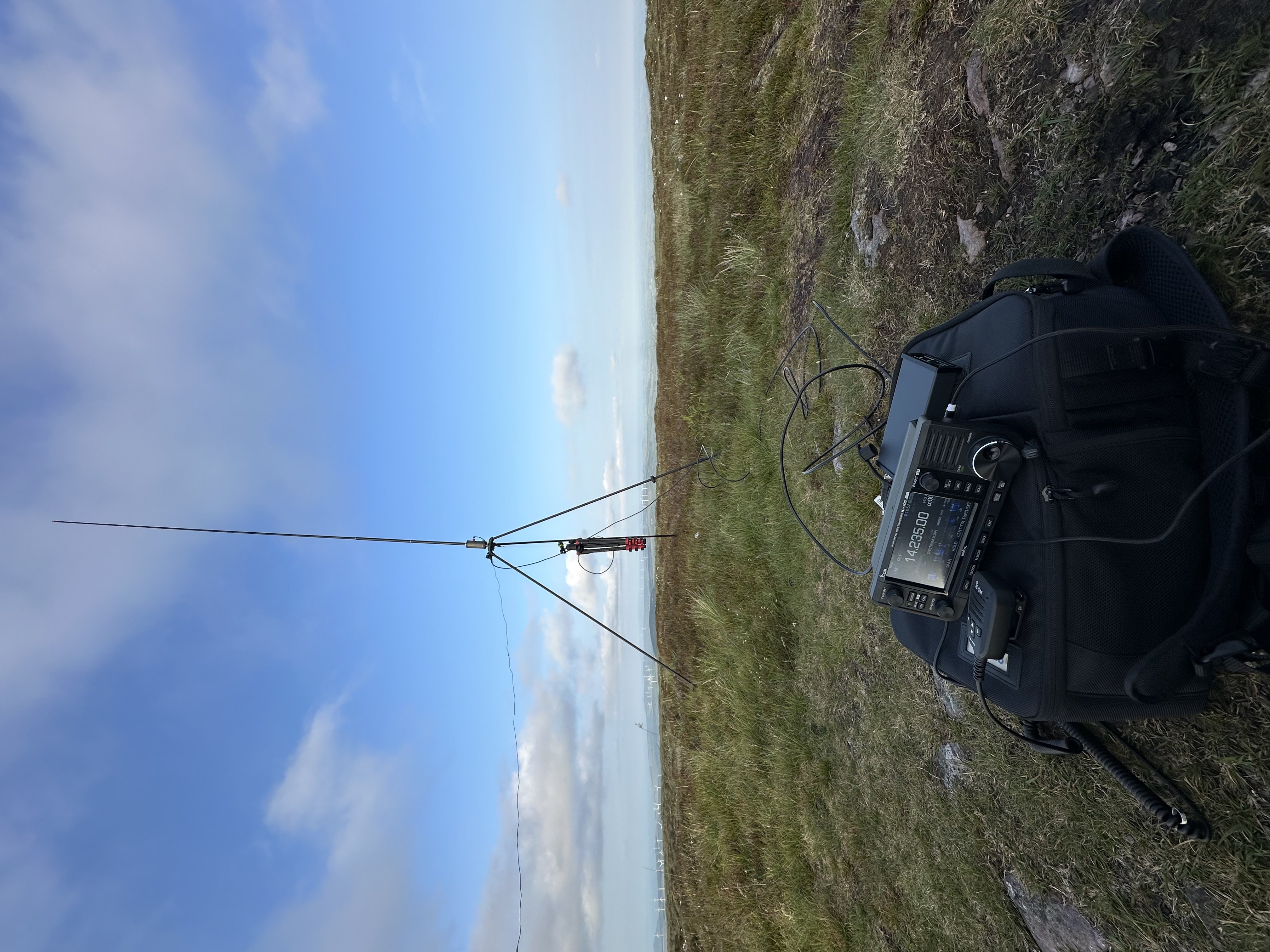
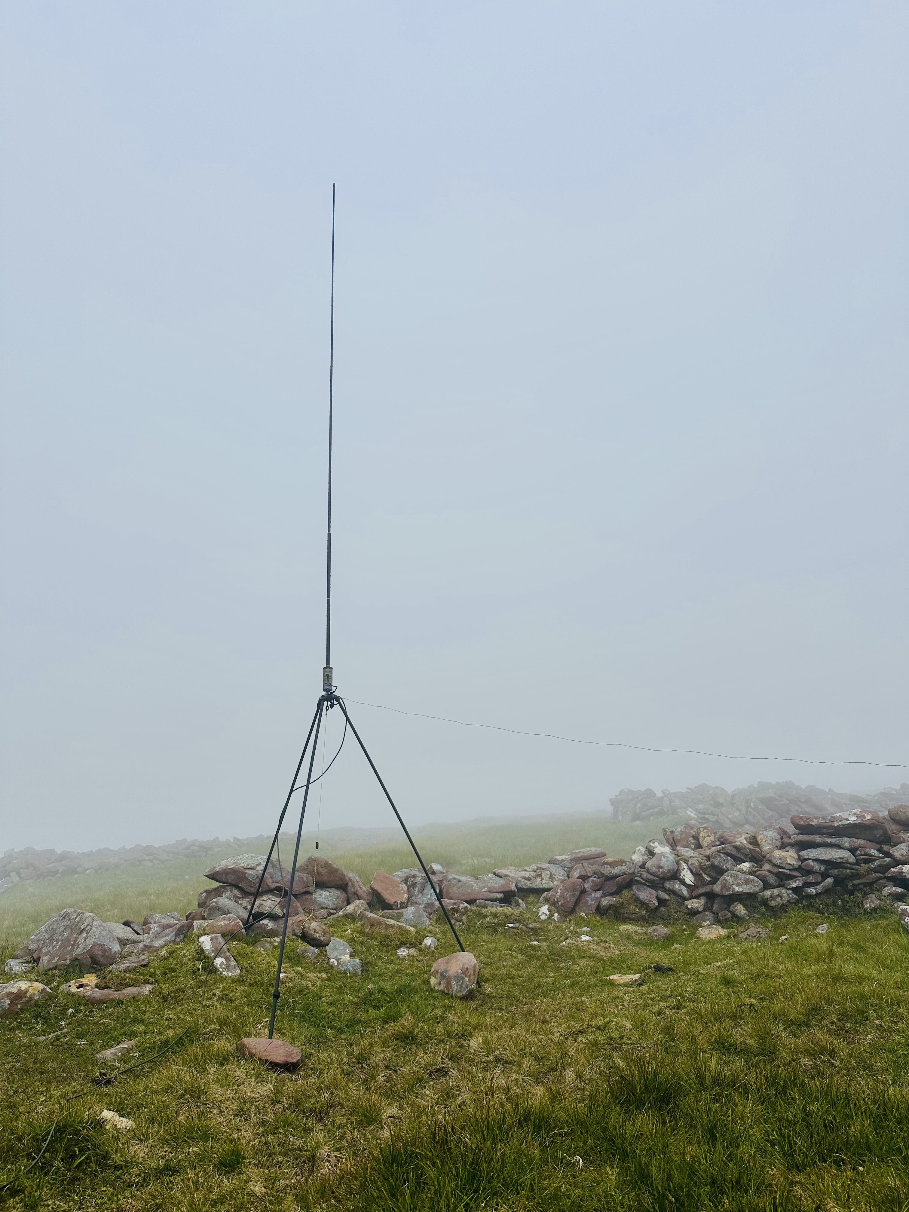
All set up for transmitting.
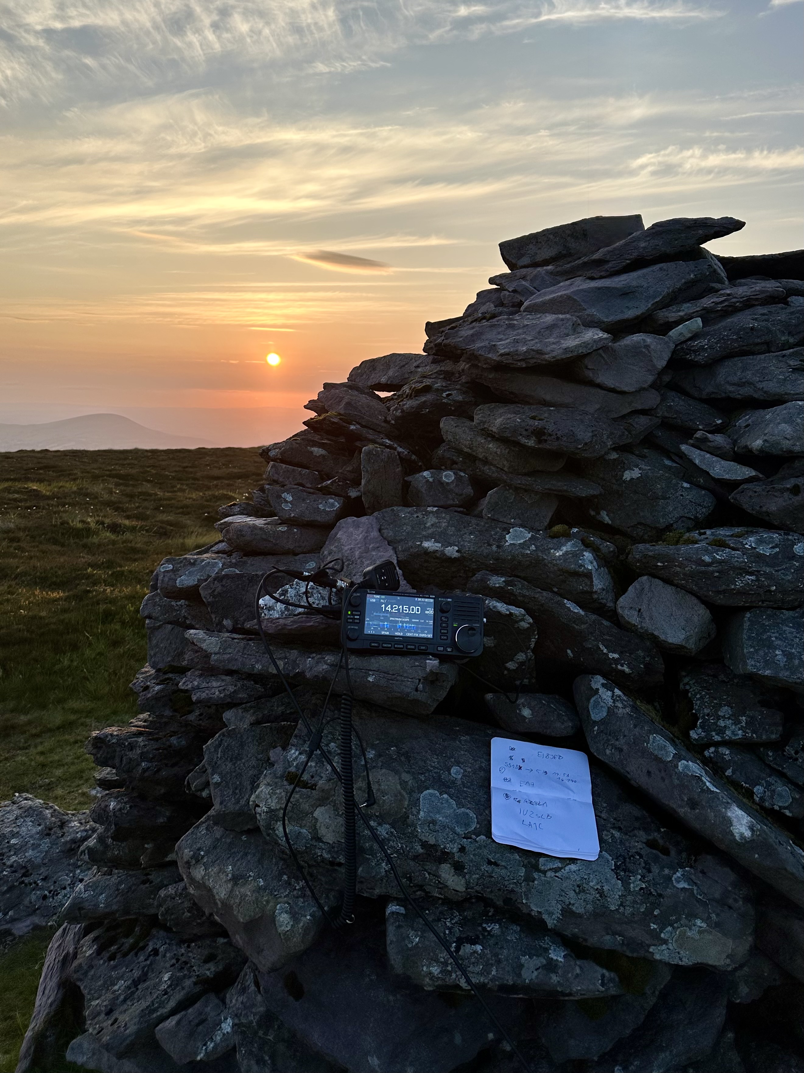
When my back got stiff, I put the radio on the cairn and continued operating standing up.
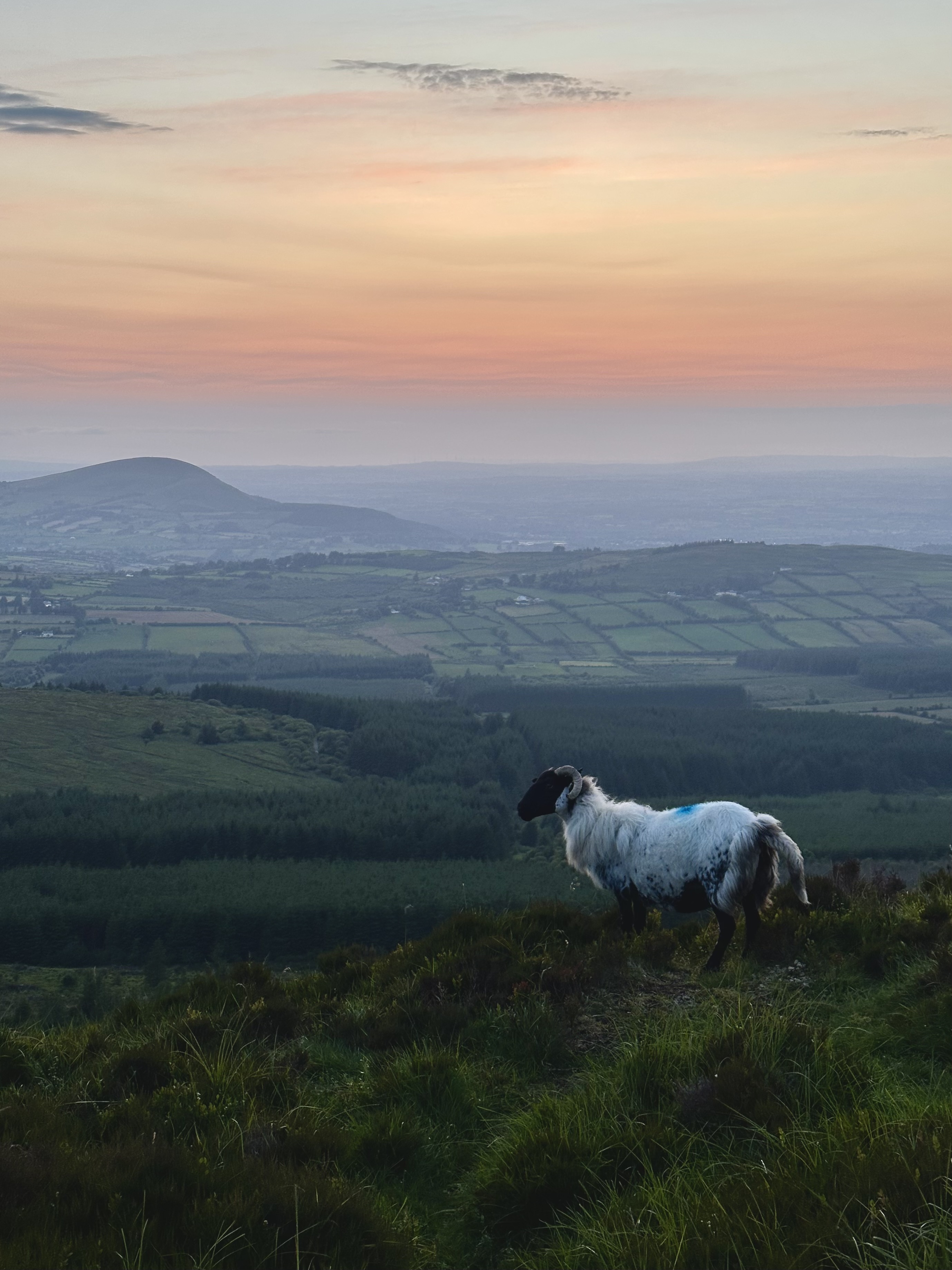
It had already been past sunset when I was walking down.
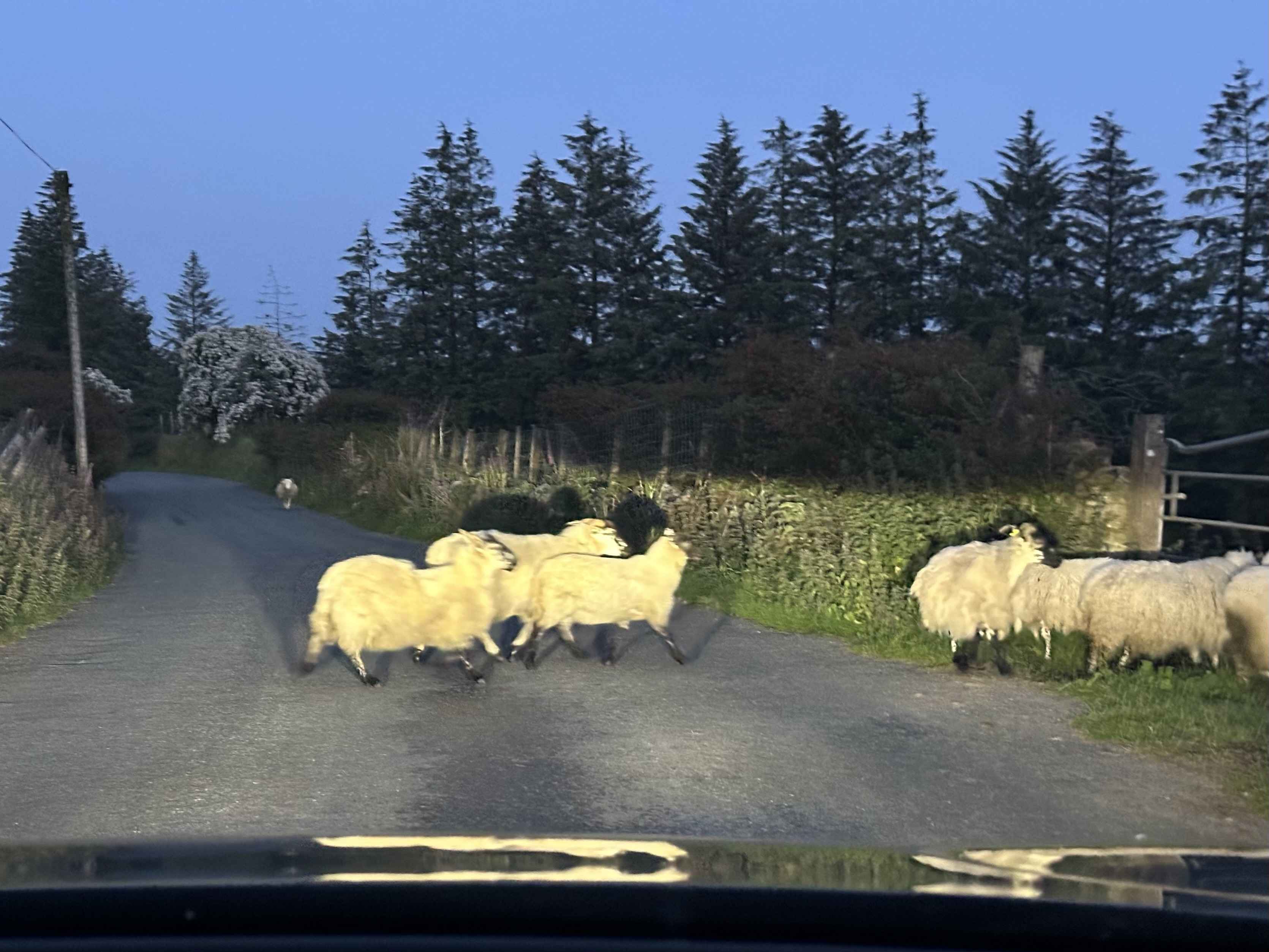
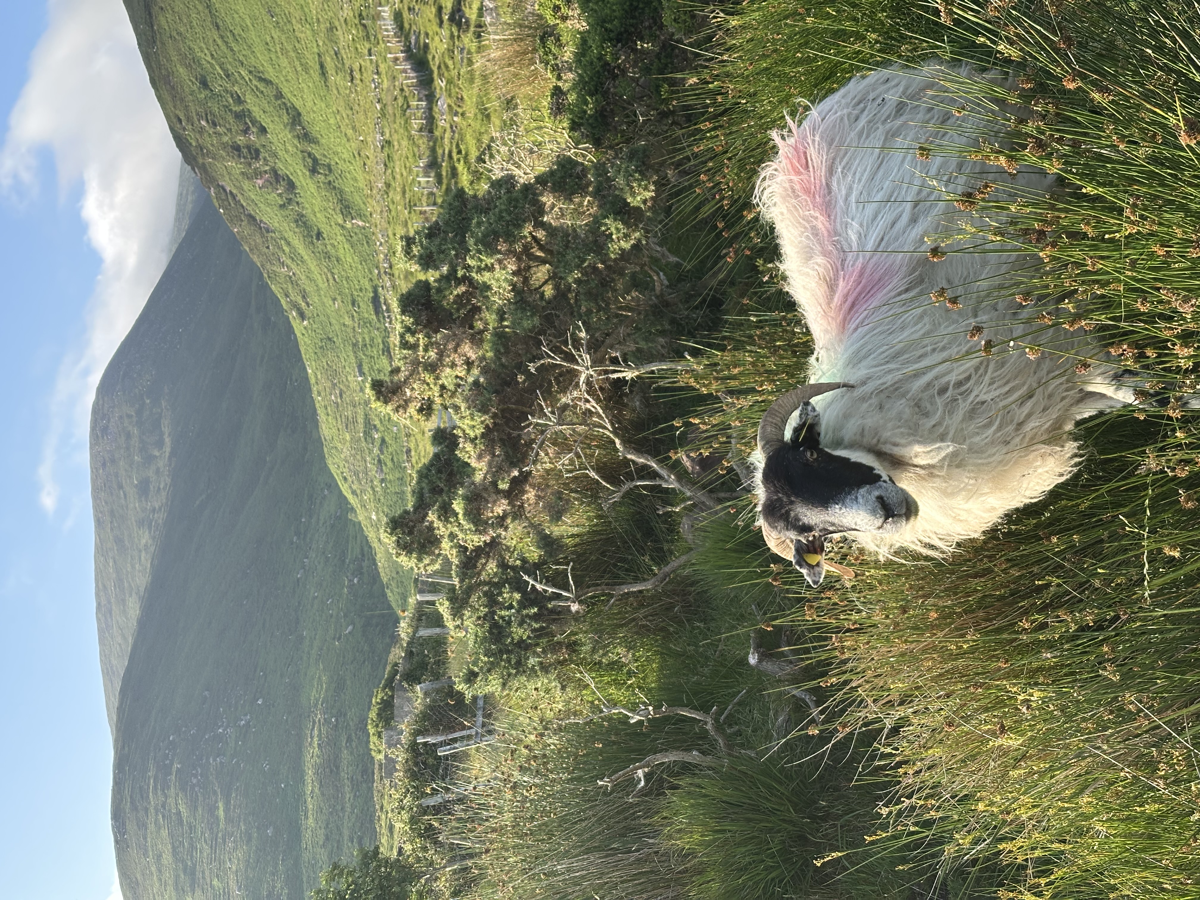
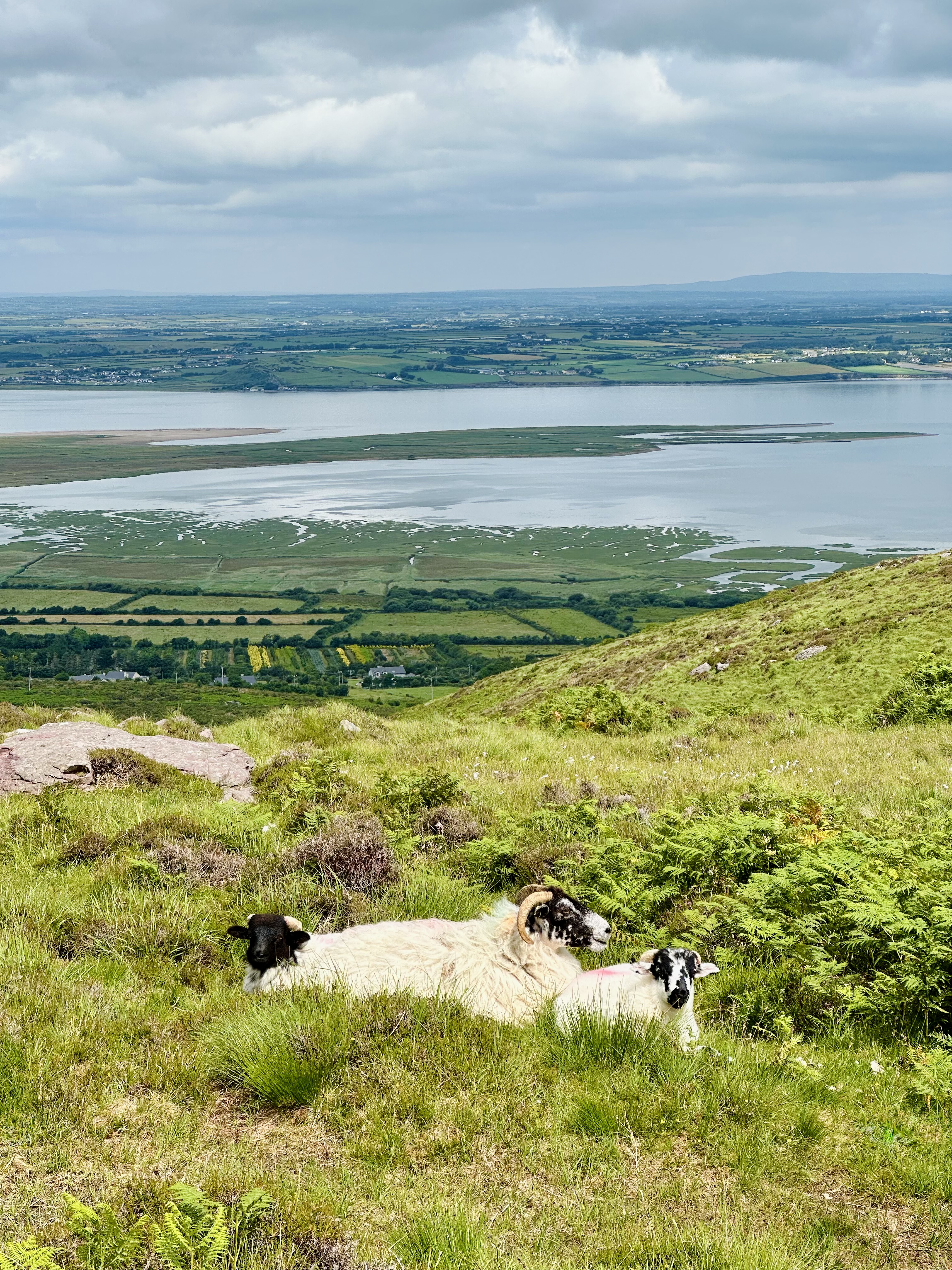
Sheep continued to be everywhere along my drive back home.
< Back to EI8JEB's radio notes
Almost immediately after I passed my amateur radio license test, I discovered the SOTA (Summits on the Air) program. Here I'll be keeping my lose notes from the summits I activated.
EI/IS-033
Points: 8
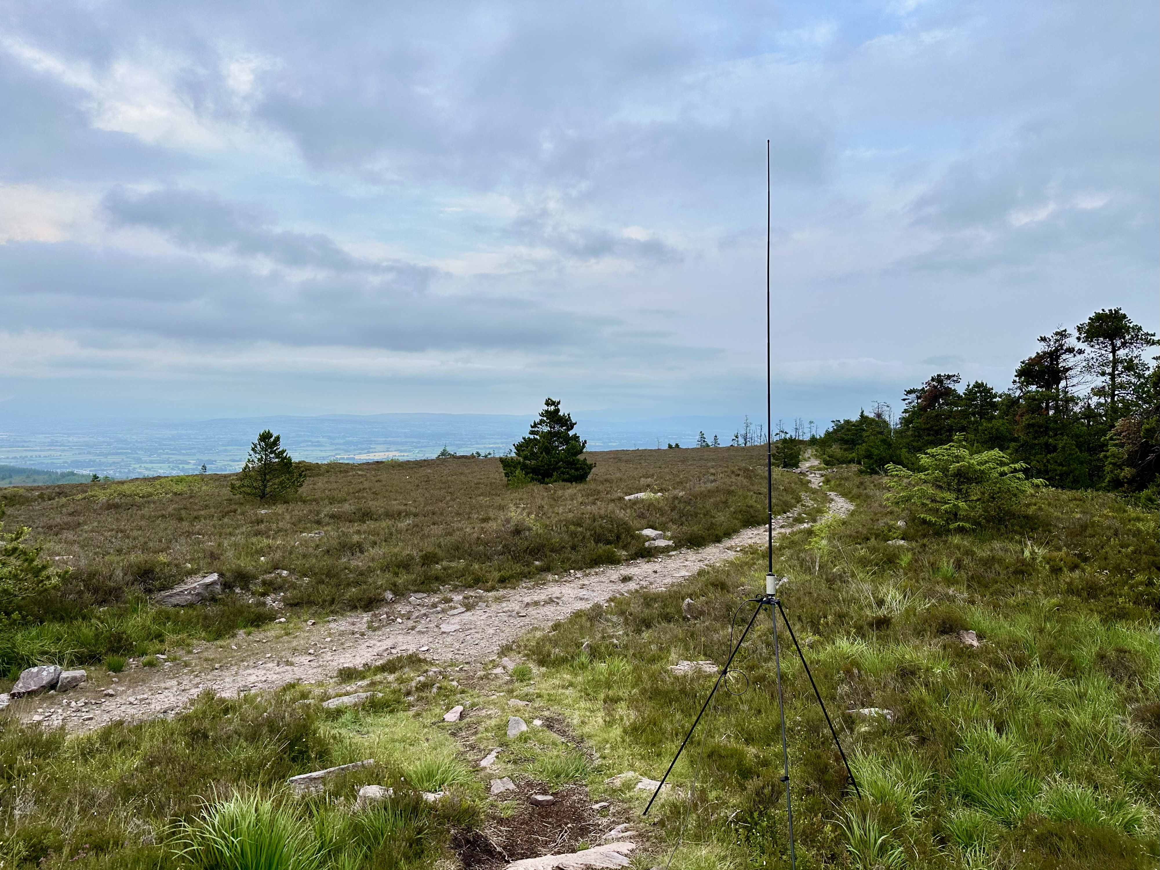
Antenna: BuddiStick PRO portable HF vertical
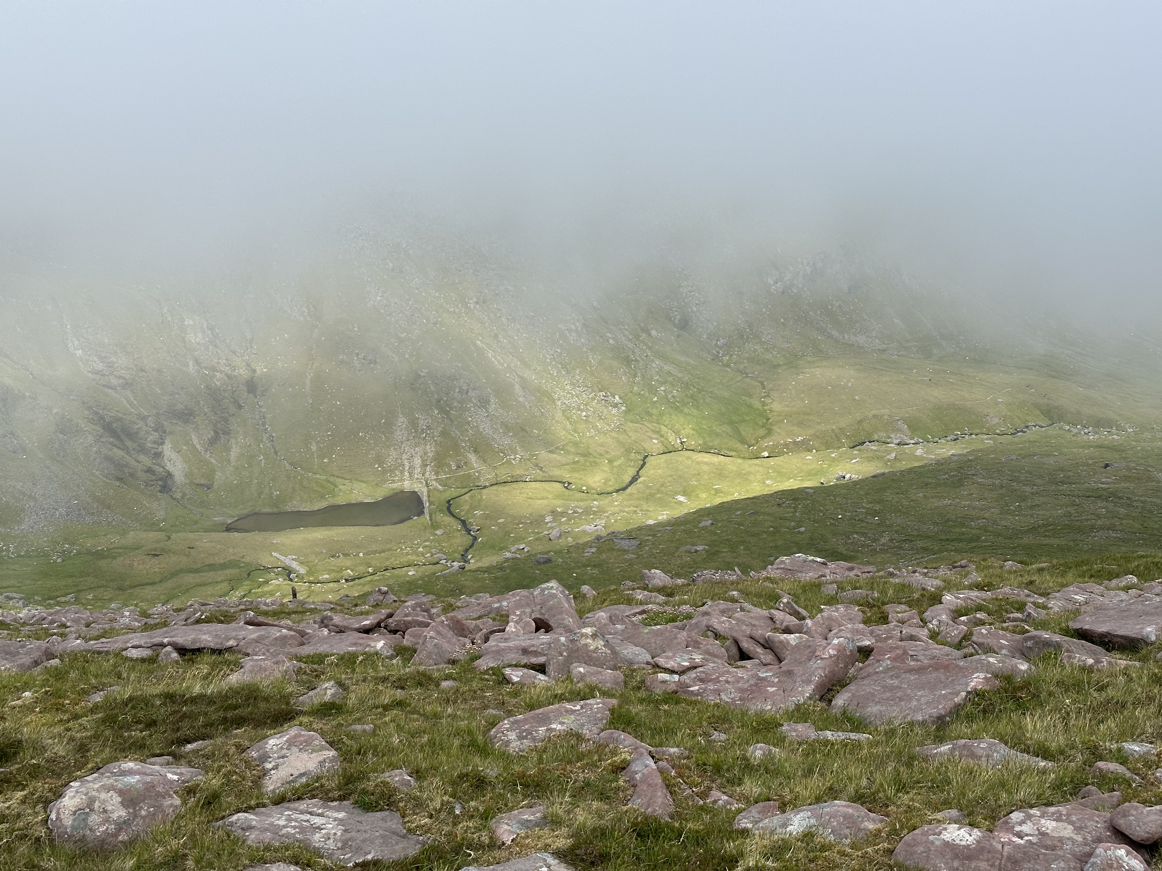
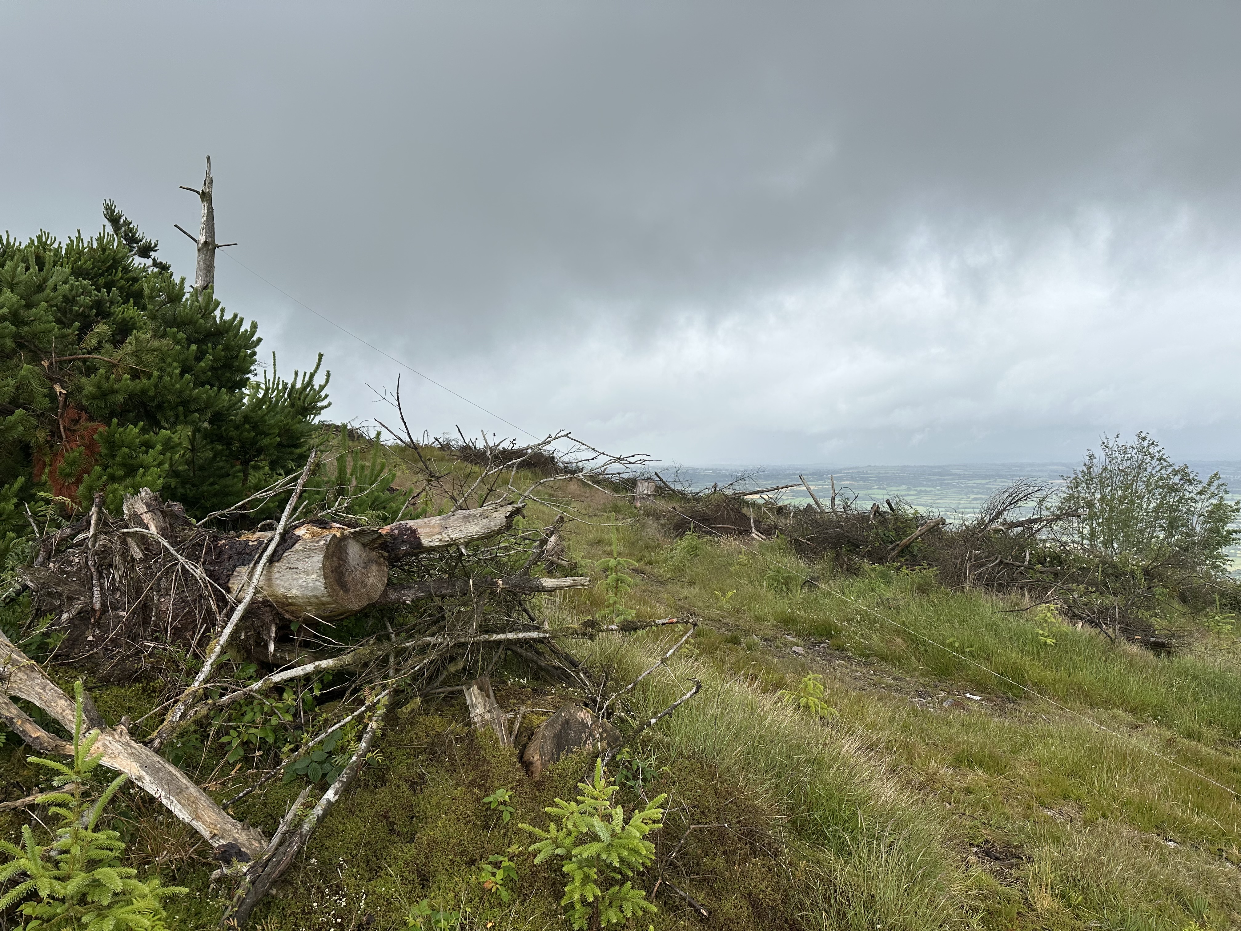
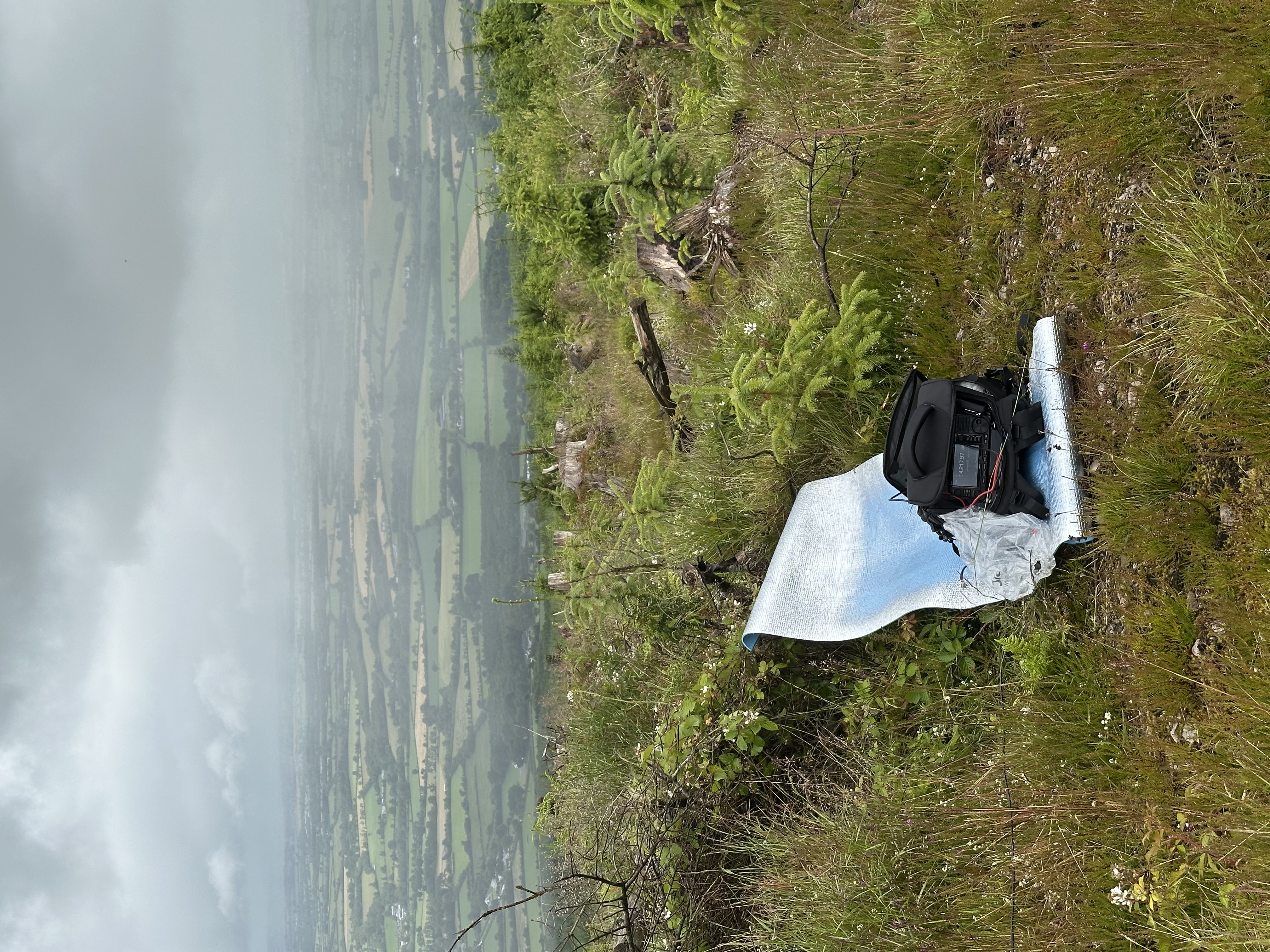
The trail is a straight line from the parking lot at 52.01173, -8.99523 all the way to the top. The climb is not difficult, but takes quite a lot of time. I think at least one hour. There are many friendly sheep along the way, and the views were beautiful in the evening. I set up my antenna and sat with the radio, leaning against a stone cairn close to the top. No trees anywhere on the summit, so it was a good idea to take the BuddiStick antenna on a tripod. I made a few contacts from there, and they were my first SOTA contacts ever. I stayed there until sunset, and didn't see anyone except for one person who looked like a farmer checking on his sheep.
EI/IS-068
Points: 4
Antenna: BuddiStick PRO portable HF vertical
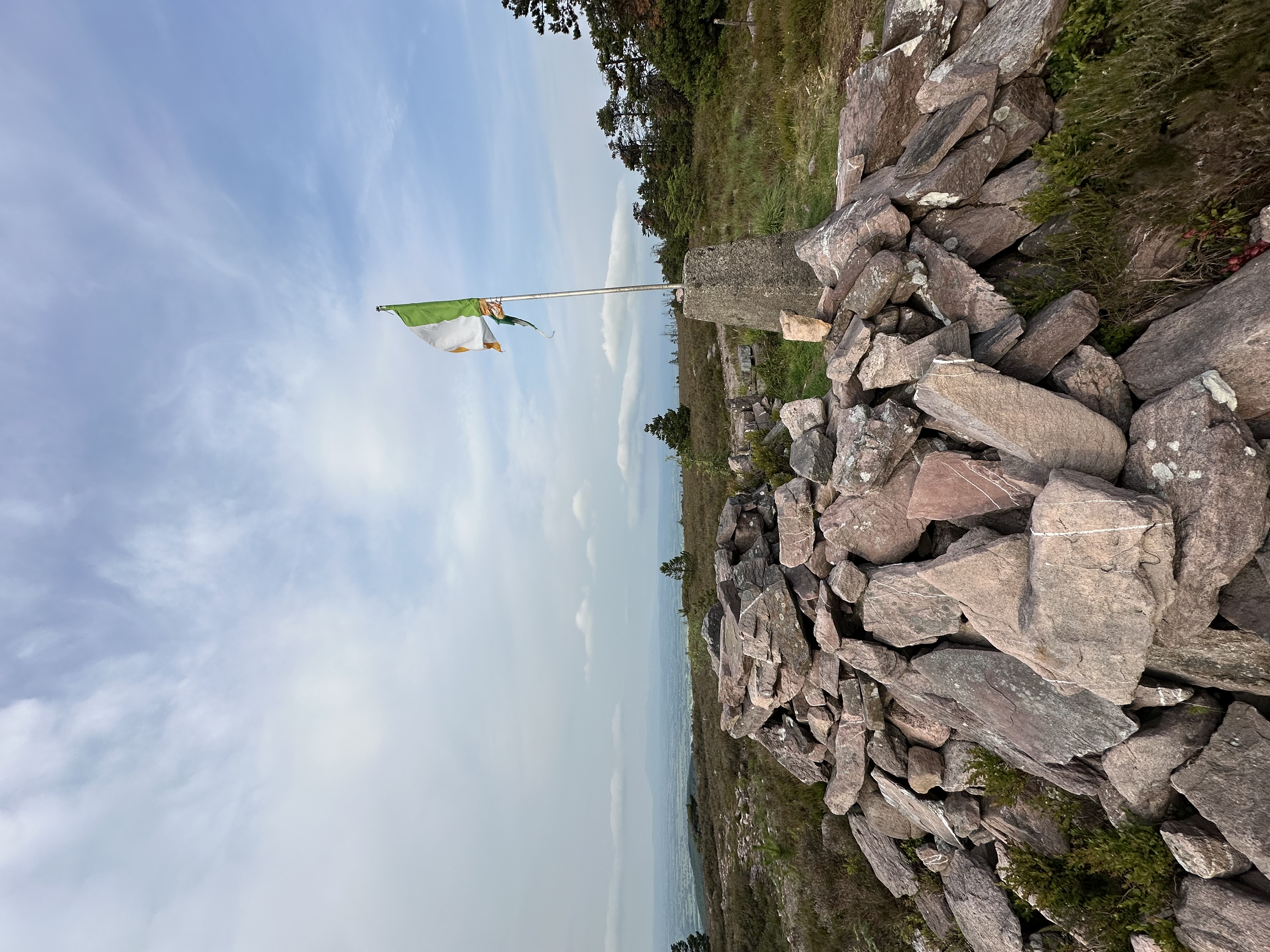
Easy climb, walk rather. One can park at 52.100070, -8.426540. People go there for afternoon hikes, and there is a shabby Irish flag stuck in a pile of stones at the top. No problems making contacts from the top, cellular connectivity is also there for logging etc.
EI/IS-005
Points: 10
Antenna: BuddiStick PRO portable HF vertical
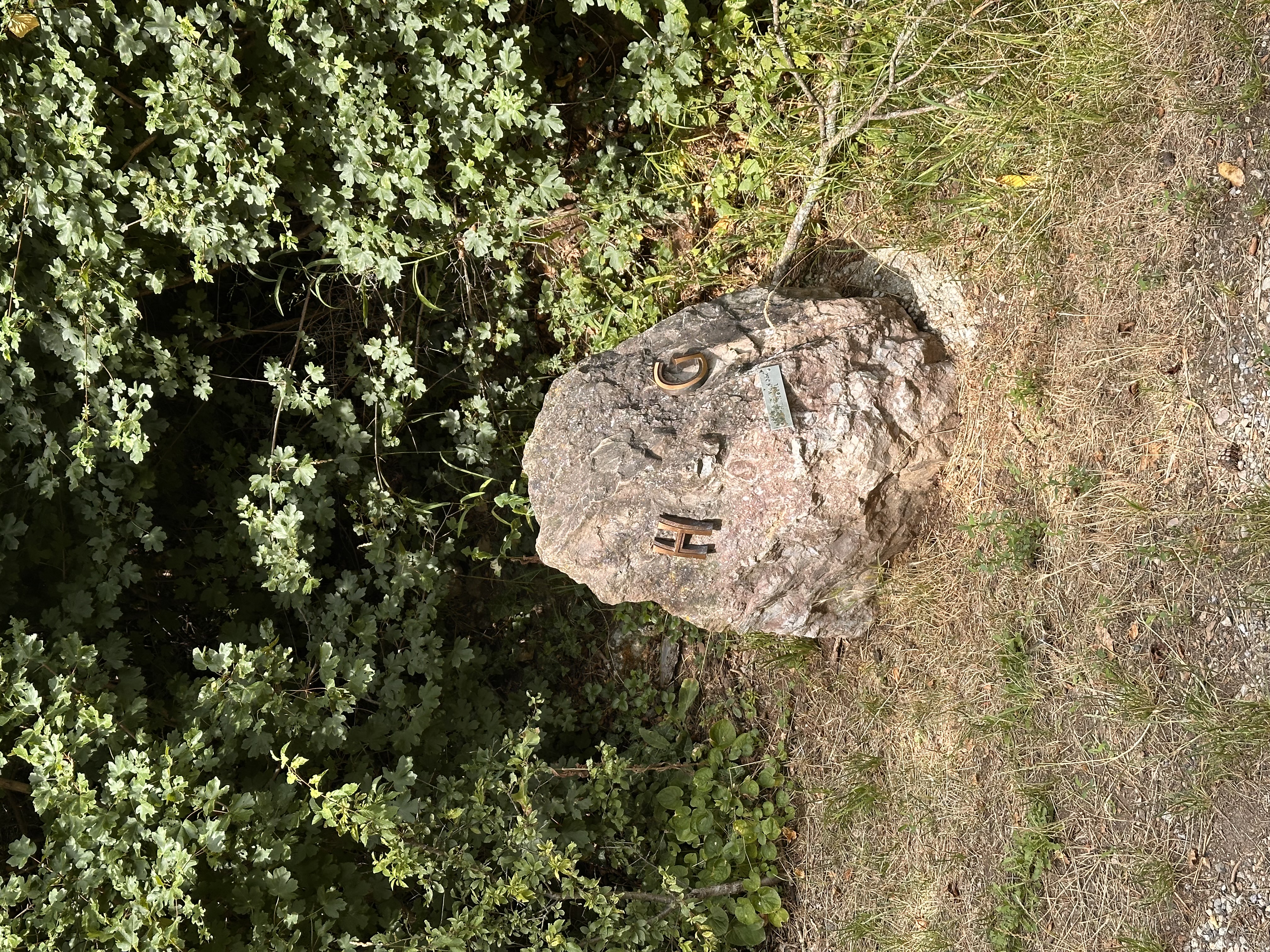
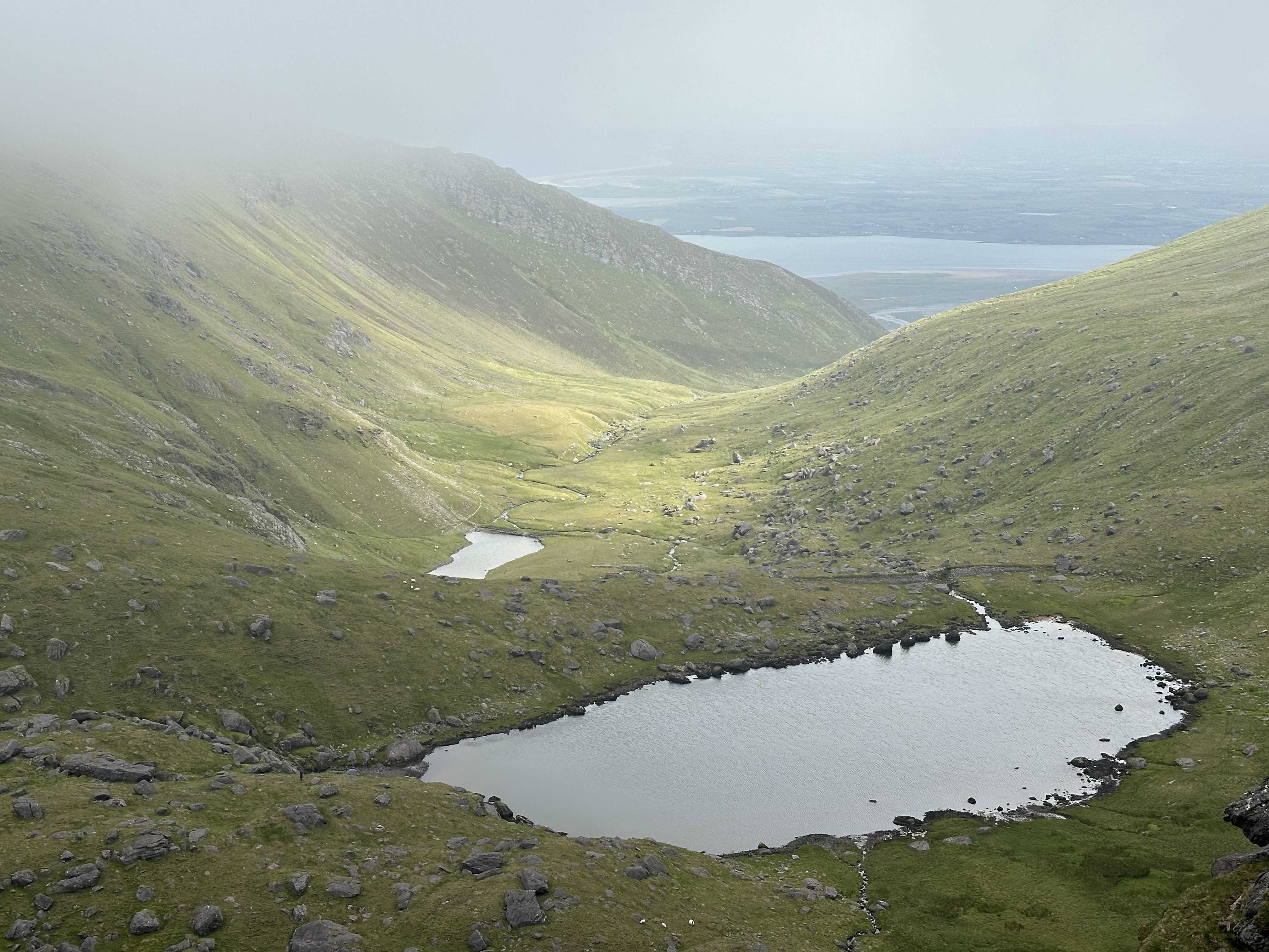
I parked at 52.234781, -9.841594, but it is not a great place to park. You leave your car by a narrow road, in a rather secluded area between two farmhouses. The peak is tougher than one might think when they google the images. First there is a long and tiring slow climb through ferns, then through the stony Derrymore River valley (just stick to the river's west bank, have the river within hearing distance), then walk around the 3 lakes on their west side. Only then the proper steeper climb starts towards the col between Baurtregaum and Caherconree, sometimes you need to use your hands to climb. Then from that pass the final flatter climb towards the Baurgregaum itself. I was walking that last part inside a cloud with very little visibility, using GPS to orient myself. There are a few stone circles at the top, I installed my antenna in one of them, and sat on a mat to do the transmission from the inside of the cold and moist cloud. I spotted myself on SOTAwatch and made contacts almost immediately. I hadn't been sparing my phone battery and then realized I could not use my powerbank because I took a wrong cable. Never make that mistake! I was lucky to have had my watch which tracked my trail -- I just followed the trail in reverse. Orientation on that mountain is not a problem... except when you're inside a cloud. I could see maybe up to 5 meters in any direction. I think the round trip was 5 hours or so, and sheep accompanied me everywhere.
EI/IS-077
Points: 2
Antenna: Chameleon LEFS 8010 EFHW portable antenna 80-10m
There is a parking place at 52.123378, -8.843501. A rather uninteresting hill with ugly cell towers at the top. Really nothing to add here except mid-hike up the hill there is a car wreck by the trail. How did it get there? No clue. What is worse I operated in rain and everything got soaked. Lesson for future: take an umbrella or something similar if there is any chance for rain, to protect the gear while operating. Myself I was protected with proper rain gear but got soaked anyway. Anyway seems like IC-705 doesn't have problems working while a little wet. On the positive side, I made my first contact with a US station from that hill! And on SSB no less! It could have been thanks to a different antenna I took this time: the end-fed Chameleon. I stretched it from a trunk of a dead tree, sloping down to ground level. Very close to the cell phone towers, exactly in this spot.
EI/NO-149
Points: 2
Height: 645 m
Antenna: Chameleon LEFS 8010 EFHW portable antenna 80-10m
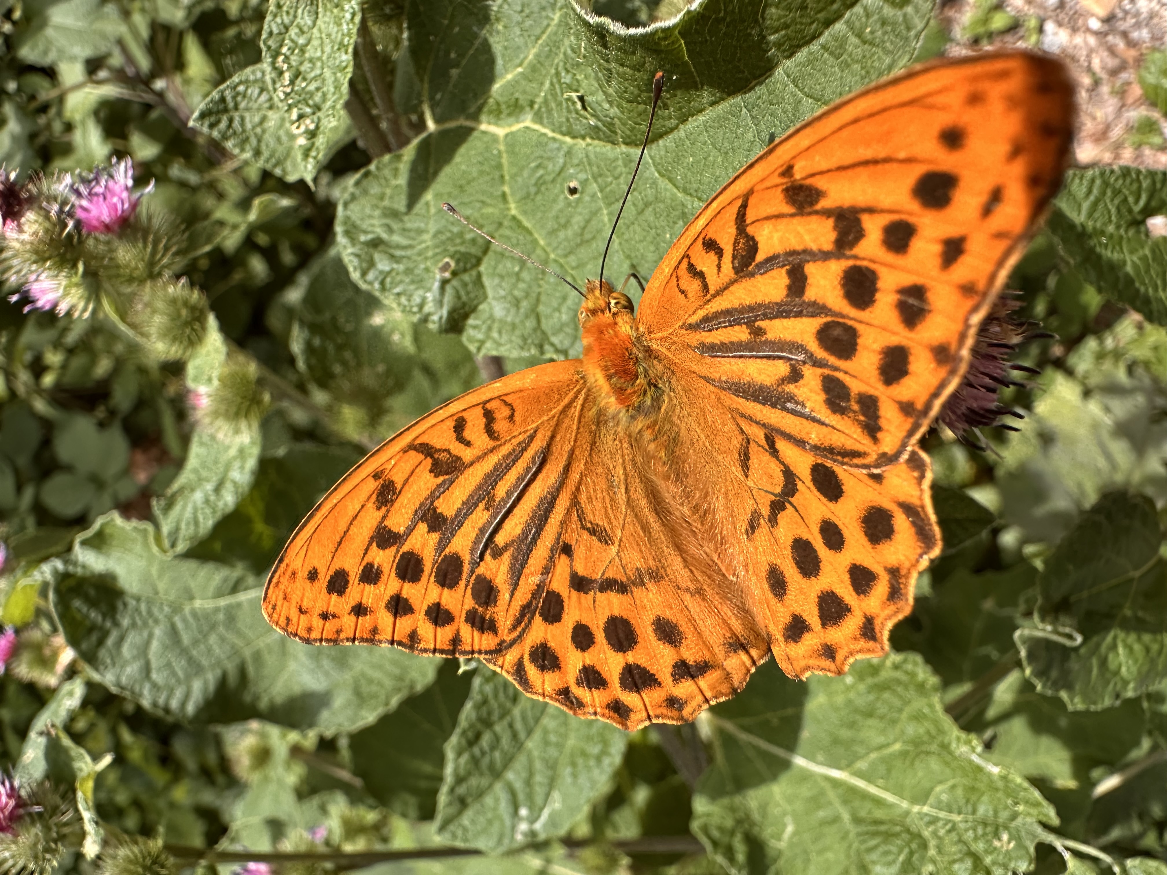
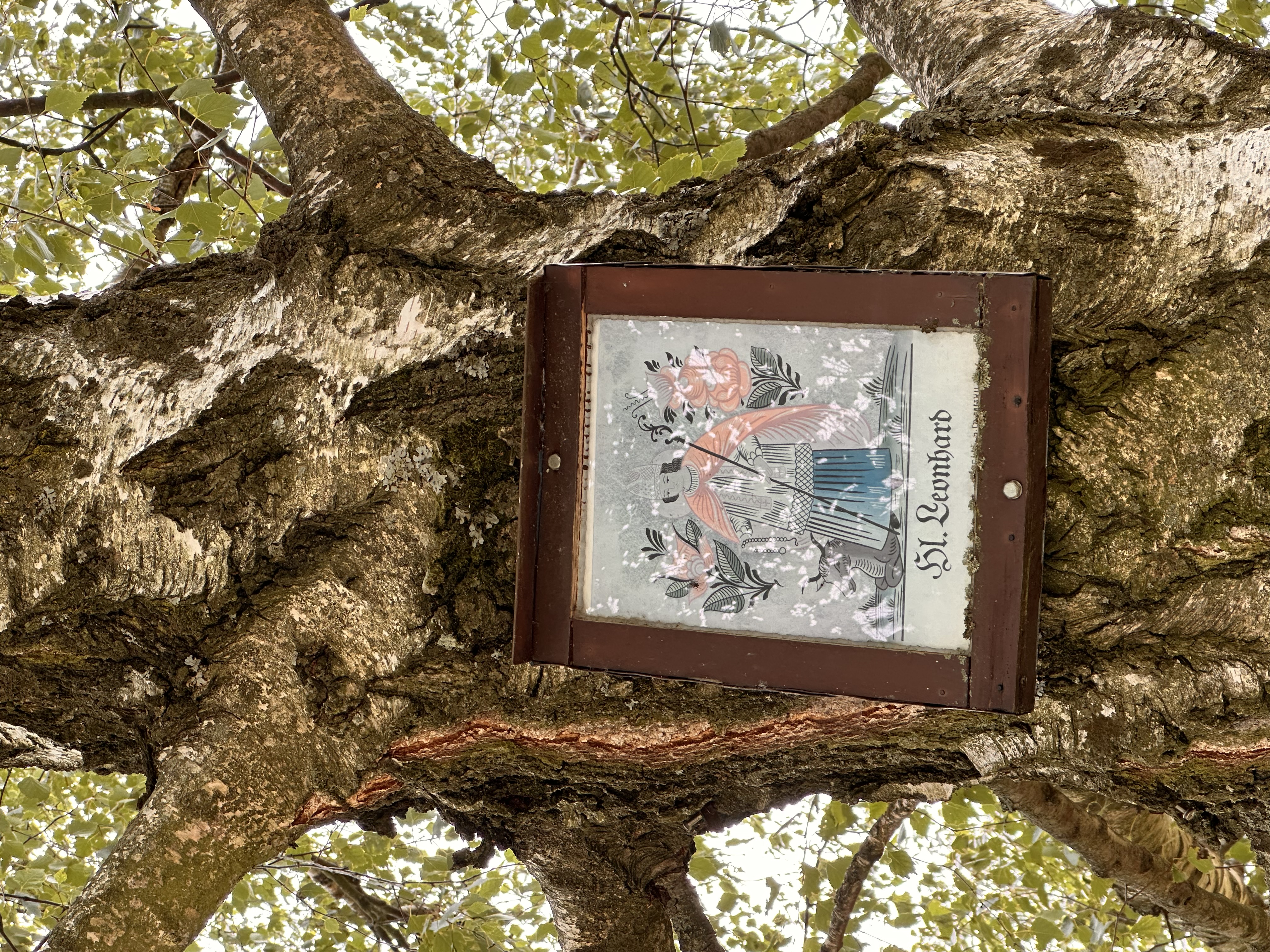
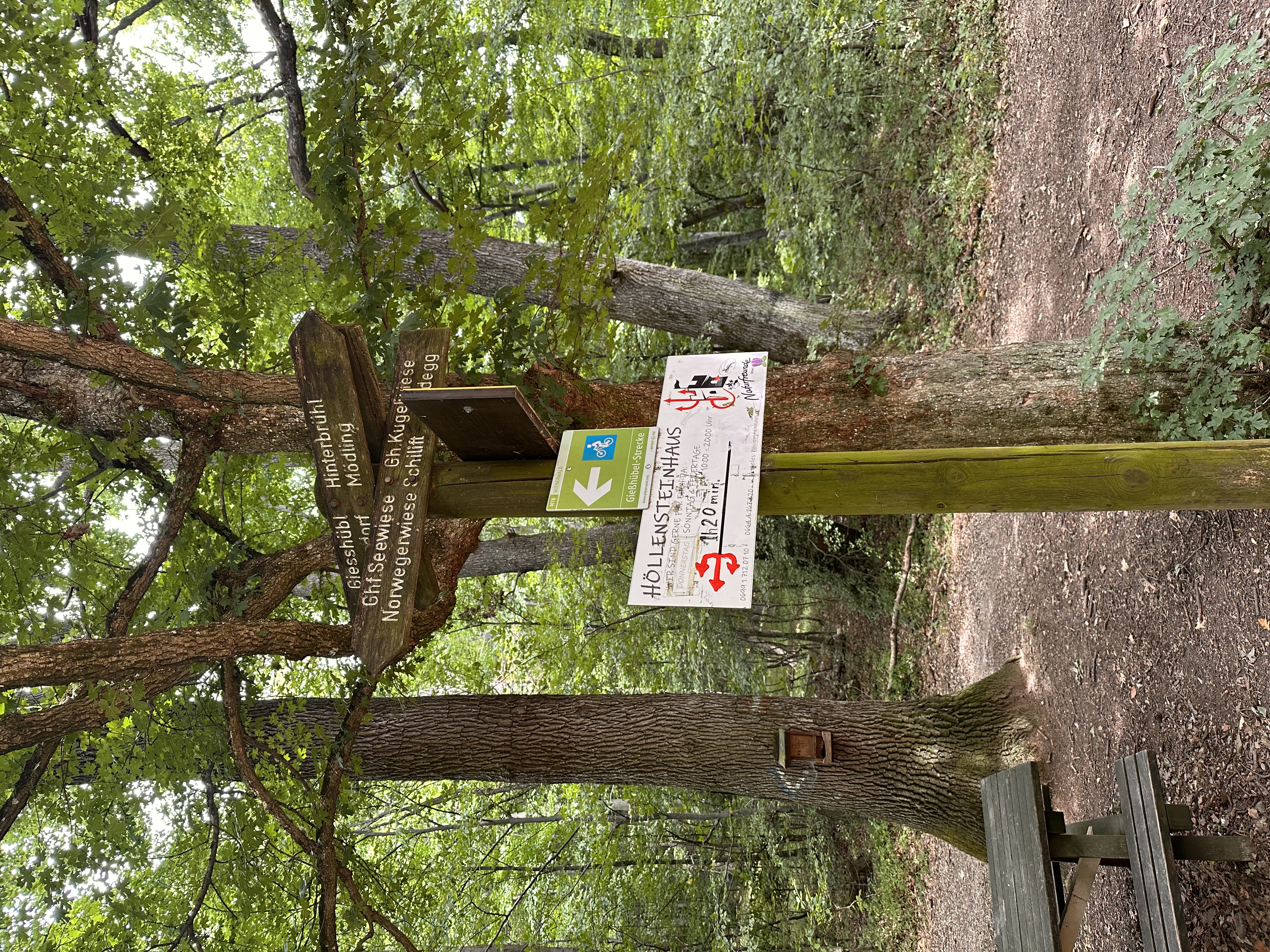
Family outing! We parked in Gießhübl at 48.099693, 16.226045 and walked for about 1 h 45 min. It is an easy walk, it gets slightly steeper only in the last 15 mins. Beautiful cornflowers (Polish bławatki!) on the way, and equally beautiful butterflies which the AI tells me are called silver-washed fritillaries. The mountain lodge on the top (48.096182, 16.187614) has a folly tower from which I dropped my end-fed antenna. It was a Wednesday and either there was nobody in the building or nobody showed up. Apparently they open to customers from Thursdays onto the weekend. We were still able to get cold drinks by grabbing them from a fridge in the hallway and leaving money in a small basket which was there for that purpose. I imagine that on a weekend there would be many more hikers there, and throwing an antenna off the tower would cause nuisance to others. But with nobody around I was able to stretch the wire to one of the tables and operate from there. HF bands seemed closed and I barely made one SSB contact with an operator in Barcelona. So I resorted to FT8 which does not require good SNR or strong signal. Bad band conditions might have also been caused by my wire running very close to the mountain lodge wall. Anyway, on FT8 I made a few more contacts easily, with France, Italy, Montenegro among others, so the activation was successful.